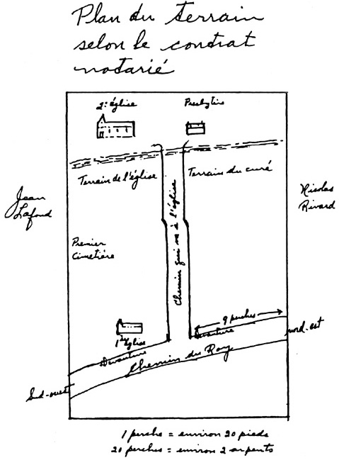
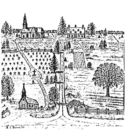
The map here shows the parish of Saint Francois Xavier of Batiscan at the time of Nicolas Rivard dit Lavigne. One sees the land where stood the 1st church, presbytery and the cemetery. The farm of Nicolas was located just to the east of the church lands. Today the
2nd presbytery built in 1824 still stands on the foundations of the earlier one.